 THE UNIVERSITY OF CHICAGO

Scaling Geospatial Maps: To Zettabytes and Beyond
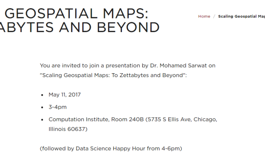
You are invited to join a presentation by Dr. Mohamed Sarwat on "Scaling Geospatial Maps: To Zettabytes and Beyond":
- May 11, 2017
- 3-4pm
- Computation Institute, Room 240B (5735 S Ellis Ave, Chicago, Illinois 60637)
(followed by Data Science Happy Hour from 4-6pm)
Abstract:
GIS software packages are useful tools to make sense of spatial data. Such data includes but is not limited to: weather maps, vegetation indices, and geological maps. In addition, technology allows hundreds of millions of users to frequently use their GPS-enabled devices to access their healthcare information and bank accounts, interact with friends, buy items online, search interesting places to visit on-the-go, ask for driving directions, and more. In consequence, everything we do leaves breadcrumbs of digital traces on the map. Making sense of such spatial data is considered beneficial for endless applications that may transform science and society like climate change analysis, population migration analysis, urban planning, transportation engineering, disaster response, as well as commerce and advertising.
The talk highlights the main challenges that the state-of-the-art GIS tools face to support the aforementioned applications. More specifically, the talk addresses the following data infrastructure challenges: (1) Heterogeneity: Spatial data come from different sources and holds a variety of attributes. Many modern cities install sensors in buildings and traffic intersections to monitor the environment. Such sensors possess spatial location attributes, sensory reading attributes such as carbon monoxide level and temperature, as well as temporal attributes. Furthermore, citizens use their mobile devices to post geo-tagged social media that consist of spatial data (e.g., the location of the user who posted the tweet), graph data (i.e., social relationships among social networking users living in a city), as well as textual data like tweets and Facebook posts. (2) Scalability and Interactivity: The volume of available geospatial data increased tremendously and since data continuously streams into the map, e.g., CheckIns, Uber trips, it can be challenging to store, index, query, maintain, and visualize the tremendous amount of evolving spatial data. Also, assume a data scientist analyzing the geospatial autocorrelation between city traffic and air pollution. Such analytics task requires a huge amount of interactive computation over large amount of traffic and carbon monoxide sensors' readings. In such and other applications, the underlying system must be able to digest massive amount of geospatial data, effectively stores it, and allows users to retrieve and analyze such data with interactive performance. After stating these challenges, the talk will give an overview of the research conducted by the data systems lab at ASU to tackle each challenge and draw a road map to scaling geospatial maps to the zettabytes scale and beyond.

|
Bio: Mohamed Sarwat is an Assistant Professor of Computer Science and the director of the Data Systems lab at Arizona State University (DataSys@ASU). Before joining ASU, Mohamed obtained his MSc and PhD degrees in computer science from University of Minnesota in 2011 and 2014, respectively. His research interest lies in the intersection of the broad areas of spatial computing and data management systems. Mohamed is a recipient of the University of Minnesota Doctoral Dissertation Fellowship. His research work has been recognized by the Best Research Paper Award in the IEEE 16th International Conference on Mobile Data Management (MDM 2015), the Best Research Paper Award in the 12th International Symposium on Spatial and Temporal Databases (SSTD 2011), and a best of conference citation in the IEEE 28th International Conference on Data Engineering (ICDE 2012). |
 |
Questions? Contact us at spatial@uchicago.edu
Download the event flier.
(Originally Published on 05-11-2017)